 EN
 ES
 CA
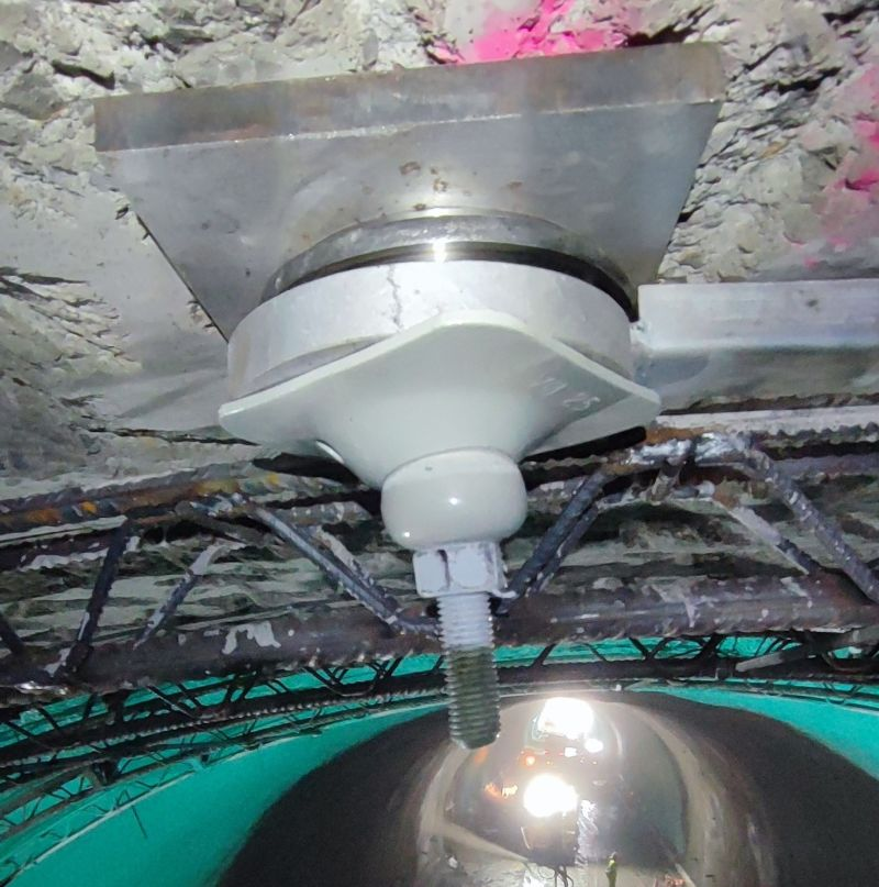
Geoplanning introduces a new cross-disciplinary service to monitor and analyse ground and structural behaviour in civil engineering, building and mining projects.The launch is supported by a new technical catalogue outlining the service’s solutions and applications.
Geoplanning expands its range of services with the introduction of a new Geotechnical Instrumentation and Monitoring division, a cross-disciplinary specialisation that complements its activities in geotechnical engineering, drilling and boreholes, mining, and geotechnical and quality control laboratories.
With this new division, the company strengthens its ability to provide integrated solutions by incorporating the monitoring and assessment of ground behaviour, structures and support systems throughout the different stages of a project, both during construction and throughout its operational life.
Geotechnical instrumentation and monitoring enables the measurement and analysis of variables such as deformations, displacements, inclinations, loads, pressures and vibrations. This information helps track changes in ground and structural behaviour, identify potential risks and support technical decision-making throughout the execution of the works.
Instrumentation and Monitoring in Civil Engineering and Building Construction
In the field of civil engineering and building construction, Geoplanning provides geotechnical and structural instrumentation and monitoring solutions tailored to the characteristics and requirements of each project.
Its main applications include monitoring excavations, retaining walls, foundations, tunnels and linear infrastructure, as well as tracking deformations and movements in existing buildings and rehabilitation projects.
To this end, Geoplanning has a range of instrumentation systems, including inclinometers, piezometers, load cells, crack gauges and precision surveying equipment, which provide data on ground and structural behaviour.
These solutions can incorporate automated data acquisition systems and remote monitoring platforms, facilitating the tracking of measurements and the detection of changes in the behaviour of monitored elements.
Discover our Instrumentation and Monitoring services for Civil Engineering and Building Construction
Geotechnical Instrumentation and Monitoring in Mining
The new division also provides specialised geotechnical instrumentation and monitoring solutions for the mining industry, both during active mining operations and throughout mine closure and rehabilitation processes.
The service enables the monitoring of ground stability and movements in slopes, tunnels, galleries and rock masses, as well as water pressures, deep-seated deformations and loads in ground support and anchoring systems.
Geoplanning designs and implements instrumentation systems tailored to the conditions of each mining operation, combining sensors, data acquisition systems and communication technologies that enable periodic or continuous monitoring, depending on the project's requirements.
The data collected facilitates the assessment of geotechnical behaviour, the detection of changes and trend analysis, thus supporting decisions related to the safety, stability and maintenance of the facilities.
Discover our Geotechnical Instrumentation and Monitoring services for Mining
New Geotechnical Instrumentation and Monitoring Catalogue
In conjunction with the introduction of this new specialisation, Geoplanning presents its new Instrumentation and Monitoring Catalogue, a technical publication outlining the geotechnical and structural instrumentation solutions available for civil engineering, building construction and mining projects.
Based on the idea “Information for Decision-Making in Civil Engineering and Mining”, the catalogue presents the main applications of geotechnical instrumentation and monitoring, measurement technologies, and the different options for data acquisition and monitoring.
The publication also explains how each project is approached, from identifying the parameters to be monitored and selecting the instrumentation equipment to its installation, commissioning and follow-up.
With this new area of expertise, we continue to expand our range of technical services and strengthen our integrated approach, combining ground investigation expertise, drilling capabilities, laboratory testing and the monitoring of ground behaviour throughout the project.
Download Geoplanning’s new Instrumentation and Monitoring Catalogue.